The only published image of Urban Oasis is a logo on an enquiry card
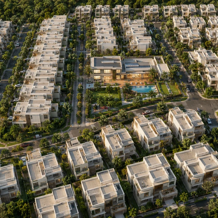
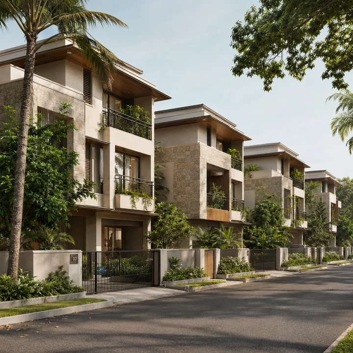
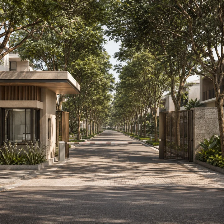
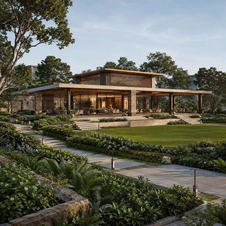
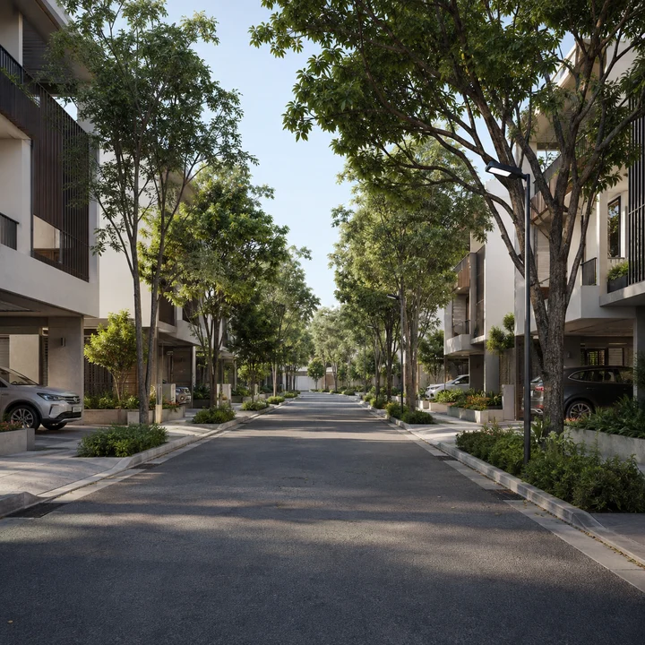
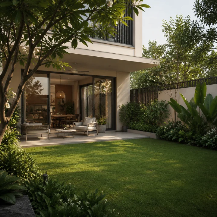
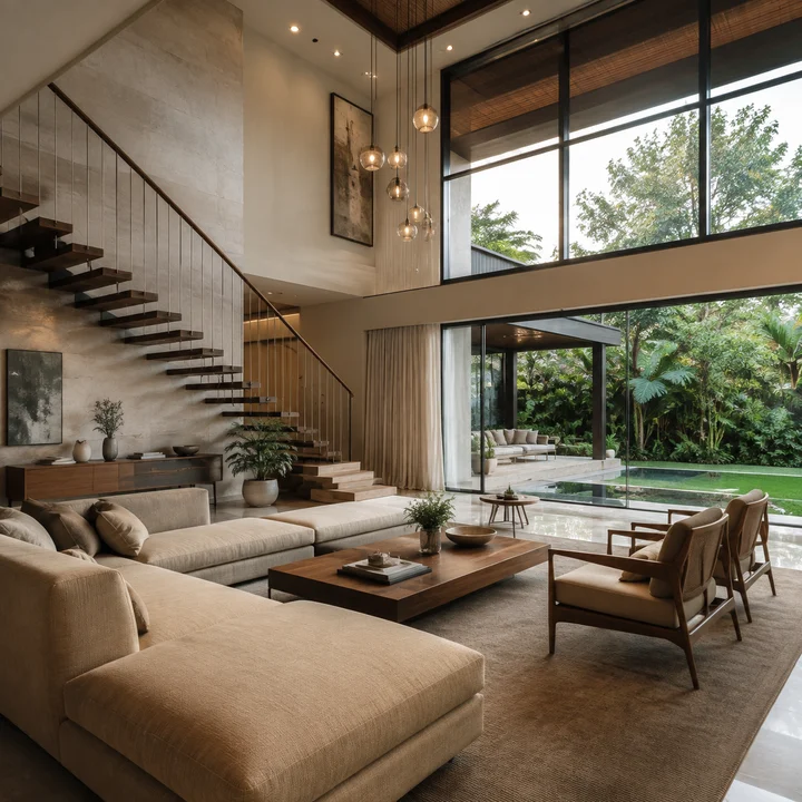
That card is the only image Modern Spaaces has published. The visuals on this page are our own indicative visualisations, captioned as such; none of them came from the developer. Nambiar Bannerghatta is useful when buyers are reading images for practical signals: light, approach, amenity scale, landscape maturity, and what still needs official confirmation.
Modern Spaaces lists Urban Oasis on its own website, at modernspaaces.com/projects, as an upcoming Villas project, Off Sarjapur Road. That listing is a card. It carries a project logo and an "Express Your Interest" button, and that is the whole of the visual material the developer has released. There is no render, no elevation, no floor plate, no plot layout, no master plan and no site photograph.
The card is also silent on the things that would let a reader tie it to a specific piece of land. It states no acreage, no unit count, no survey number and no village. The name, the villa typology and the corridor all match the environmental filing described below, which is strong — but the identification of the developer's card with that filing is our reading, not a stated fact.
One point on the name, because it is unusual for a project at this stage. Urban Oasis is not a working title we assigned. The promoter firm is literally named M/s Urban Oasis, the boundary file lodged with the government is named "final urban oasis_project site 21.07.2026.kml", and Modern Spaaces publishes the name itself. It is the developer's own name and it is current. It is not necessarily final — a project can be registered under a different name than the one it is marketed under before registration.
Why there is no brochure for Urban Oasis, and why there is an enquiry form anyway
Urban Oasis is not registered with the Karnataka Real Estate Regulatory Authority. It holds no registration number, because none has been granted. Section 3 of the Real Estate (Regulation and Development) Act 2016 prohibits a promoter from advertising, marketing, booking or selling a project in a registrable class until registration is in hand. A full brochure and image set is, in substance, advertising — which is a large part of why none exists.
The tension a buyer should see plainly is this: an expression-of-interest campaign is live while the registration is not. That is not by itself evidence of bad faith, but it does mean anything you are shown now sits outside the regime that would otherwise govern how it may be described. This microsite is an information and enquiry resource for a scheme at the approvals stage. It is not a booking channel, and nothing on it is an offer.
The environmental position is at an equally early stage. The application for Urban Oasis, proposal SIA/KA/INFRA2/587993/2026, was last submitted on 7 August 2026 and is under examination. No Terms of Reference and no environmental clearance has been granted. There is no signed certificate, no state file number and no central file number on the record — so unlike some schemes at this stage, there is not even a stamped document to reproduce.
The filed KML boundary is the only site geometry on the public record
One piece of real site geometry exists. The promoter submitted a boundary file with the application, and its extents run from 12.86419, 77.74645 in one corner to 12.86796, 77.75291 in the other.
We publish the centre of that box, 12.86607, 77.74968, as this project's pin. It is an inferred figure held at medium confidence: the extents are verified, the centre is our own arithmetic on them. We do not publish it to more than five decimal places and it should never be treated as an exact site centre.
Two cautions about reading that rectangle as a site plan. First, it is a bounding box, not a parcel outline — roughly 417 m by 701 m, about 29.2 hectares, enclosing a filed parcel of 14.6013 hectares. The parcel fills about half of what the box contains. Second, a coordinate rectangle is not a drawing. It shows no boundary line, no setback, no road, no block footprint, no access point and no level. What it does tell you, usefully, is that the parcel is genuinely elongated east to west — the box is well over half again as wide as it is deep. That is a real shape constraint on any layout, and it is the single thing the geometry does say.
For completeness: of the two location figures on the client's own sheet, the Plus Code VQ82+27W is the correct one. The latitude and longitude on that same sheet fall some 663 m from the box centre, outside the filed extent altogether, and we have discarded them rather than publish them.
What the filings record about the land at Yamare and Dommasandra
| Field | Value |
|---|---|
| Villages | Yamare (22 survey numbers) and Dommasandra (3), Sarjapura Hobli, Anekal Taluk |
| District | Bengaluru Urban; Dommasandra Post, 562125 |
| Land extent | 14.6013 ha = 36.08 acres |
| Land status | Acquired — by "sale deed, JDA from land owners and exchange deeds", with conversions obtained |
| Promoter of record | M/s Urban Oasis, a partnership firm |
| Proposal number | SIA/KA/INFRA2/587993/2026, Fresh Terms of Reference |
| Status | Under examination, last submitted 7 August 2026 |
| Category | B1, Schedule 8(b), Townships and Area Development Projects |
Two things about that table are worth drawing out.
The land status line is the most substantial verified fact on this page, and it is a genuinely good one. The parcel is not under negotiation and it is not a memorandum of understanding: it is assembled, by a mix of sale deeds, a joint development arrangement with land owners, and exchange deeds, and conversion has been obtained. A 25-survey-number assembly across two revenue villages is not a trivial thing to complete, and completing it is one of the more common places a scheme at this stage stalls.
The promoter of record is not the brand. The filing is made in the name of M/s Urban Oasis, a partnership firm, and Mr Shravanth P signs the statutory undertaking on it as "Partner, M/s Urban Oasis". The same named person in the same role signs Modern Spaaces' other filings. Building each project through a dedicated entity is this developer's normal practice, and it is the reason the compliance paperwork and the marketing name do not appear to match.
Now the part a gallery page has to be candid about. Those documents record the land's tenure. They do not record its condition. There is no site photograph on the record we hold, no dated inspection image, and no description of ground cover, existing structures, boundary treatment, tree stock, water bodies or levels. We have not visited the site.
So we are not going to tell you what the land looks like today. A confident sentence about a bare, level parcel would be a sentence we invented, and across an assembly of 25 survey numbers it would very likely be wrong in parts. If you are seriously evaluating this project, drive to the survey numbers and look, or ask for dated site photography with the survey numbers identifiable in frame.
What GF+2UF and 11.0 metres imply about the massing at Urban Oasis
The filing says nothing about architecture, but it is precise about the programme, and the programme constrains the massing more tightly than a render ever would.
| Filed particular | Value |
|---|---|
| Units | 477 residential villas and a club house |
| Structure | GF + 2UF — ground plus two upper floors |
| Maximum height | 11.0 m |
| Built-up area | 182,631.25 sq m |
| Land | 36.08 acres |
| Project cost | Rs 426.94 crore |
The height figure is the one to hold on to. Nothing in this scheme is filed to stand higher than 11.0 metres — the scale of a three-storey house, not a building. Across 36.08 acres that describes a low, horizontal, spread-out development. Any image you are shown of this project containing a tower, a podium or a high-rise skyline is describing something other than what has been filed. The same developer has filed a very different scheme in the same period, a high-rise apartment development on a much smaller parcel elsewhere on the corridor; it is a separate project, not a phase of this one, and the two should never be read off the same set of images.
Three pieces of arithmetic follow, and each is our own estimate, shown so you can check it:
- Built-up against site area. 182,631.25 sq m ÷ 146,013 sq m = about 1.25 times the site area. Treat that as an indicator of intensity only. It is not a sanctioned floor area ratio; the filed figure is a gross number and a bye-law calculation excludes different things.
- In square feet. 182,631.25 sq m × 10.7639 = roughly 1.97 million sq ft of gross built-up area.
- Gross density. 477 villas ÷ 36.08 acres = about 13.2 villas per acre, measured across the whole parcel including roads, open space and the club house. It is a density, not a plot size — the filings state no plot dimensions at all.
One derivation people reach for should be stopped before it starts. Dividing the built-up area by the unit count gives about 4,121 sq ft per villa, and that number is not what it looks like. The filed area is total covered construction: club house, service and utility blocks, security structures, the sewage treatment plant, overhead tanks, porches and balconies are all inside it. It is not commensurable with a marketing built-up figure for a single home, and no conclusion about the mix of villa types can be drawn from it. Material in circulation describes 4 BHK and 5 BHK villas. The filings do not state a unit mix, and no plan drawing for either type has been published.
The one amenity the filing itself records is a club house. Any amenity list you encounter for this project today did not come from the filings.
Artist's impression, elevation, sanctioned plan: sorting a villa launch bundle
When material does arrive, it will come as a mixed bundle, and the classes carry very different weight. Sorting them is the most useful thing a buyer can do with a launch gallery.
| Class of image | What it actually is | What it binds |
|---|---|---|
| Artist's impression / 3D render | A visualisation commissioned before tender, often before the final design is fixed. | Nothing. It is illustrative. |
| Elevation drawing | The architect's measured, to-scale drawing of a facade — floor lines, heights, openings. No sky, no landscaping. | Binds only through the drawing set it belongs to. |
| Sanctioned plan set | The drawing set stamped by the approving authority — named as BMRDA in the client brief, though we have seen no document from that authority. | This is what governs what may lawfully be built. |
| Plot layout / site plan | Plot boundaries, dimensions, numbering, internal roads, setbacks, club house position. | Binds when it forms part of the stamped set. |
| Villa unit plan | The room-by-room layout of one villa type, with dimensions. | Binds when annexed to the agreement to sell, not when it appears only in a brochure. |
| Show villa photograph | A built sample, ordinarily fitted well above base specification. | Binds only where the written specification annexure repeats it. |
| Site photograph | An image of the land or the works on a stated date. | Binds nothing, but it is real evidence of condition on that date. |
| Location or connectivity graphic | Marketing cartography, very frequently drawn to straight-line distances. | Nothing. Check every figure against a routed source. |
For a villa scheme specifically, three checks matter more than they would for an apartment.
Ask for the plot layout before the render. In a plotted villa development the plot is the asset. The layout drawing gives you your plot's dimensions and orientation, whether it is a corner, what it backs on to, and how wide the road in front of it is. A render gives you none of that, and no two plots in a 477-unit scheme are equivalent.
Check whether the show villa sits on a representative plot, and check the setbacks. Sample units are routinely built on the most generous plot in the scheme, with open land on two or three sides that later becomes a neighbour. Spacing between villas is the detail renders flatten hardest, because the camera is placed to make it look larger than the layout allows. The gap is a number in a drawing, not something to judge from a picture.
Ask whether a drawing carries a stamp, a scale bar and a drawing number. A render has none of the three. Once this project is registered, the authority's own public record becomes a place to inspect the approved set independently of whatever a sales team hands over, and that is the version to compare against.
An artist's impression is not a contractual document
This is the standing caution, and it applies to every project rather than only this one. A render is made to sell an idea. Landscaping is drawn mature when it will be newly planted, adjacent land is drawn empty or built to a flattering height, and facade materials shown in a visualisation are frequently value-engineered between design and construction. None of this is dishonest in itself, and none of it is a promise.
What a buyer can hold a promoter to is the written specification annexure, the stamped plan set and the agreement to sell. If something matters to you — a plot dimension, a compound wall detail, a club house facility, a particular external finish — find it in those documents, in words and in dimensions. If it exists only in a picture, treat it as an intention.
Nothing on this microsite is a photograph of the site or a developer render. Where illustrative imagery appears anywhere on these pages, it is indicative only, it is not supplied or approved by Modern Spaaces, and it carries no representation about the finished development.
The setting around Yamare, read from routed distances rather than a render
With no photography to convey setting, the routed table does that work instead. Every figure below is road distance.
| Destination | Road distance |
|---|---|
| Dommasandra Lake | 1.30 km by road |
| Head Start Educational Academy | 2.18 km by road |
| Yamare Lake | 2.56 km by road |
| Sri Lakshmi Multi Speciality Hospital | 2.70 km by road |
| Divine Providence School | 2.96 km by road |
| Oakridge International School | 3.21 km by road |
| Bethany High Sarjapur | 3.31 km by road |
| Confident Square Mall | 3.63 km by road |
| International School of Management Excellence | 3.85 km by road |
| Kunskapsskolan Bengaluru | 4.25 km by road |
| Sarjapura Bus Stand | 7.06 km by road |
| Carmelaram railway station | 9.56 km by road |
The strongest thing that table says about the setting is the school cluster: Head Start, Divine Providence, Oakridge International, Bethany High and Kunskapsskolan are all inside 4.3 km by road. For a household with school-age children, that is more informative than any wide-angle image of the site could be.
The second thing it says is a warning about connectivity graphics. Several destinations here are far further by road than they appear on a map. Kunskapsskolan Bengaluru is 1.71 km away on the map and 4.25 km by road. Confident Square Mall is 1.59 km on the map and 3.63 km by road. Yamare Lake, the parcel's own namesake water body, is 1.31 km on the map and 2.56 km by road. That ratio is the signature of a village road grid that has not yet been cut through — places that look adjacent are reached by going out to a main road and back in. It is fair to expect that improves as the corridor develops. It is not fair to draw a marketing map as though it already has, and that is exactly the kind of graphic to check figure by figure when one appears.
On rail, the position is straightforward. There is no operational metro station near this site. Carmelaram, at 9.56 km by road, is the nearest rail of any kind. No alignment or station location has been published for any proposed metro extension towards Sarjapur, so no distance to a future station can honestly be given, by us or by anyone else.
What to ask for before Urban Oasis has any images
If you are tracking this project, these are the items worth watching for, in roughly the order of how much each one tells you.
- The outcome on proposal SIA/KA/INFRA2/587993/2026. Terms of Reference would be the first thing granted, and even that is only permission to conduct the impact study.
- The K-RERA registration, which is the point at which the project may lawfully be sold and its plan set becomes a public record.
- The stamped plot layout, where plot dimensions, road widths, setbacks and the club house position stop being claims.
- Dated site photography across the parcel.
- The written specification annexure, the only place a finish or a fitting becomes enforceable.
When Modern Spaaces publishes visual material for Urban Oasis, this page will be rewritten around it and every image will be labelled for what it is. Until then an empty gallery, stated plainly, is worth more than a full one that cannot be relied on.
Urban Oasis by Modern Spaaces Gallery — frequently asked questions
What should I verify before I commit any money to Urban Oasis?
Six things, in this order. One: a Karnataka RERA registration number for this project, checked on the authority's own portal, not on a brochure. Two: the environmental position — whether Terms of Reference have been issued and whether clearance has followed, both traceable against proposal SIA/KA/INFRA2/587993/2026. Three: the layout consent from the planning authority, as a document. Four: title across all 25 survey numbers, including the joint-development component, through your own advocate. Five: the identity of the entity you would contract with — M/s Urban Oasis is the promoter of record, and you should know exactly whose name goes on your agreement. Six: written refund terms for anything you are asked to pay now.
Where is the nearest hospital to Urban Oasis?
Sri Lakshmi Multi Speciality Hospital is 2.70 km by road, and it is the closest medical facility of any scale in the routed table. Beyond it, Healing Hands Clinic at Sarjapura is 4.91 km by road and Spandana is 5.03 km by road, both of which are far further by road than they look on a map. The Sarjapura Urban Primary Health Centre is 6.97 km by road, and Government Hospital, Gunjur is 7.64 km. The larger multi-speciality hospitals of the Electronic City and Bommasandra belt sit in the 11 to 12 km band by road. For a villa buyer, the practical reading is that routine and urgent-but-minor care is close at hand, while a major-hospital run is a real journey.
Is PropNewz selling Urban Oasis?
No. PropNewz is an independent publisher of project information. We are not the developer, not a broker and not a channel partner for Urban Oasis or for Modern Spaaces, and we take no position on whether you should buy. This page exists because a scheme at the approvals stage tends to attract confident claims that outrun its documents, and a buyer deciding on a purchase of this size deserves to see which figures rest on a filed record and which do not. Where we do not know something, we have said so above rather than filled the gap. Enquiries submitted here reach the developer's side; they do not reserve, allot or book anything, because nothing at Urban Oasis can lawfully be booked today.
Is Urban Oasis the same project as Modern Spaaces' Chikkadunnasandra scheme?
No, and they are not alternatives on one masterplan. Urban Oasis is a 477-villa community on 36.08 acres at Yamare, built to a ground-plus-two-upper-floor envelope. The Chikkadunnasandra project is an apartment development — 826 homes in a 45-storey tower on 7.6 acres, roughly four kilometres away. They share a developer and a broad corridor and nothing else. If you are comparing the two, you are really comparing a low-rise plotted villa product against a high-rise apartment product, which is a decision about format, maintenance, land share and resale profile before it is a decision about either scheme.
Is Urban Oasis a Modern Spaaces project or an M/s Urban Oasis project?
Both descriptions are correct, and a buyer should understand why. The environmental filing is made in the name of M/s Urban Oasis, a partnership firm, which is the promoter of record on the government file. Mr Shravanth P signs the statutory undertaking on that filing as "Partner, M/s Urban Oasis", and the same named person in the same role signs Modern Spaaces' other filings, including the application numbered SIA/KA/INFRA2/582779/2026 for the developer's Chikkadunnasandra scheme. Building each project through a dedicated entity is normal practice for this developer. Our reading is that the developer's upcoming-projects card and the filing describe the same scheme: the name, the villa typology and the corridor all coincide. That identification is our reading, not a document.
Enquire about Urban Oasis by Modern Spaaces
Urban Oasis by Modern Spaaces is at the stage where the useful thing is information rather than a booking, because there is no lawful booking to make. Leave your details and we will tell you when the position changes — when a Karnataka RERA number is issued, when the environmental file moves, and when the developer publishes a price, a floor plate and an amenity schedule. The enquiry form asks for a name, phone number, email address and message; name and phone are required.